Abroad
Traveling to distant locations often presents one with unique sights, sounds, and experiences that inspire ones imagination and photographic creativity. One wonders what would catch the photographers eye in the regions close to home if they had the same fresh perspective that comes with experiencing the location for the first time. Visiting unfamiliar locations and experiencing different cultures refreshes ones imagination, enlivens the spirit, and enriches the mind. .. Having an enjoyable time may not always be guaranteed, but having a memorable and valuable one almost certainly is. Perhaps it is best summarized by a quote by Oliver Wendal Holmes, "A mind that is stretched by a new experience can never go back to its old dimensions".
Iceland
Iceland
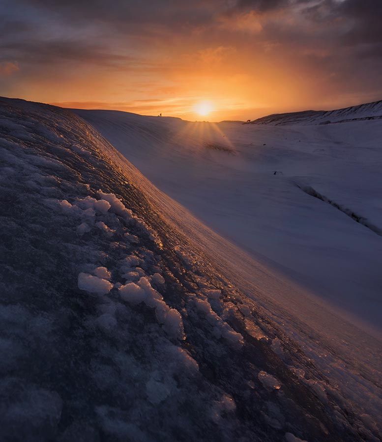
A Sunset on the Glacier,
February, 2018
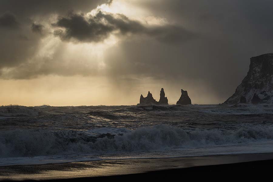
Sun-Rays above Black Sand Beach, Vík,
February, 2018

A Wintry Skógafoss,
February, 2018

A Tranquil Sunrise Following a Pre-Dawn Snow Storm,
February, 2018
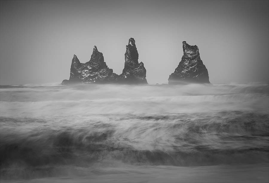
Rock Spires Piercing the Sea Surface, Vík,
February, 2018

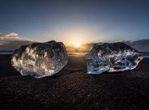
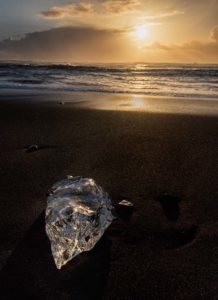
Portal in the Ice

Location Notes
Traveling to Iceland in winter has benefits such as wonderful wintry scenery, fewer crowds, and longer nights (providing more opportunity to observe the aurora borealis). These were all factors that contributed to the decision of going in February, in particular during a new moon which would allow for darker skies and better viewing conditions of the northern lights. However, it would quickly become obvious that there are certain challenges associated with a traveling to Iceland in winter. A blizzard created wide spread road closures which prevented us from making our first hotel in Gullfoss. Even more than the snow, the wind closes roads and makes driving precarious. Gusts in some areas were in excess of 100mph, which is strong enough to blow a car off the road.
The weather would prove to be a significant factor during our week-long trip, closing roads, stranding us in hotels, preventing us from traveling where we wanted and when we wanted, as well as occasionally making it difficult for us to even go outside. It snowed everyday we were there, even on days that were otherwise sunny (which was one). The chances of seeing the northern lights quickly seemed to be dwindling due to the nearly incessant cloud cover, however we did see some faint aurora reflecting off the clouds on two separate nights which was still nice.

I was not expecting such harsh weather conditions, nor for it to feel so cold. I was under the impression that the climate is relatively mild in Iceland due to the Gulf Stream, which is true, but this should not make one underestimate the significance of the winter weather there. In fact, the same effect that creates the milder temperatures can also make for more stormier conditions.
I imagine that the strong winds in Iceland arise from the lack of obstacles; not only is the country surrounded by water, but it has almost no trees. After a massive sandstorm created significant damage in the country about 40 years ago, there was a movement to reforest the land. Creating a forested Iceland is a monumental challenge, however. Iceland is estimated to have been up to 40% tree covered before the Vikings began clearing away the forests. Eventually, nearly all the trees were removed and, once gone, getting them back is anything but straightforward. Part of the reason why trees have trouble growing is ground topsoil erosion which is made worse by the lack of supporting tree roots. Another issue is the fact that sheep like to eat many of the plants that try to grow, including the main native tree species, the birch. Currently it is estimated that the country is almost 2% tree covered, which is up by about half a percent since the reforestation effort began.
Aside from the difficult weather conditions, a second surprise was the number of tourists. This was perhaps an unusual situation since our trip happened to fall during the Chinese New Year, but it was actually quite crowded in many areas despite this being the off-season. All that being said, I would not discourage one from travelling to Iceland in winter since not only are the snowy landscapes beautiful, but perhaps experiencing the harshness of the location provides one with a greater perspective of the place itself. In addition, in winter it is possible to explore the ice caves and glaciers, which is a wonderful experience.
If you want to go in winter, I would recommend doing so closer to Spring or Fall rather than in the heart of the season. There is only about 5 hours of daylight in mid-January, whereas there are 11:30 in mid-March, and the weather is likely going to be more manageable toward Spring or Fall. I would not worry too much about the driving, the road conditions are good enough for a rented SUV, and if the roads get too dangerous, they will close. I would recommend skipping the Golden Circle in winter since it is too cold to adequately enjoy and not as nice as the southern part of the country from what we could tell. Since I assume you would travel to Iceland for the scenery, there is little reason to stay in Reykjavik. The city is perfectly nice, but it is better to be somewhere more scenic. The best option may be to stick to the ring road and visit Vík, Jökulsárlón, and perhaps areas father east if you can get there. Since you may be spending time driving or staying sheltered from the storms, and since the daylight hours are limited, it may be best to spend more time at each location than you would normally allot.
For us, the most spectacular sights were the waterfalls along the ring road in the south, the Black Sand Beach in Vík, and Jökulsárlón. You definitely should have waterproof boots at the Black Sand Beach since the waves can run surprisingly high up the sand.
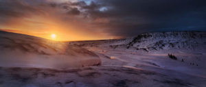
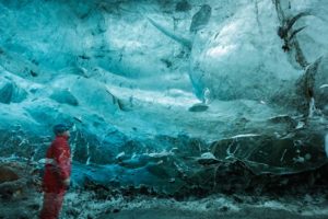
The highlight of the trip was the tour of the glacier and ice caves. We had a one day tour in which a guide took us to the Vatnajökull glacier in a souped-up 4×4 that was capable of managing the deep ice water and steep icy terrain that occasionally required traversing. The ice caves form when flowing water creates a cavity in the glacier. We were given crampons to help grip the glacial ice on the hike. The glacier is shrinking every year, but is still over 3000 square miles
with an average thickness of over 1000 feet. Walking on its desolate, but beautiful, surface felt like being on another world. It seemed to be more similar to exploring the moon of a distant planet than being someplace on Earth. The ice caves were remarkable, as well as being beautiful, and being able to walk through them is a special experience that should not be missed if you visit the area.
Overall Iceland was a great place to visit and provided many fantastic scenes and memorable experiences.
Italy
Italy

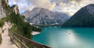
Turquoise Reflections,
September, 2023

Milky Way at Lake Braies,
September, 2023






Location Notes
The Dolomites are a mountain range in northeastern Italy that contain a vast array of scenic views and outdoor activities. Although part of the alps, the Dolomites have characteristics that make them unique and especially impressive compared to other areas of the mountain range. Their name comes from the carbonate rock present in the region called dolomite which has a pale appearance. The mountains have many jagged peaks and vertical spires, making for a distinctive and beautiful aesthetic.
There are many areas in which one can base themselves while visiting the Dolomites. Two of the most popular are Val Gardena (which includes the main towns of Ortesei, Santa Christina, and Selva) and Cortina D’Ampezzo. We flew into Milan and took trains to Bolzano (via the Milan centrale train station and Verona) which took about 5 hours. We then rented a car in Bolzano and drove about an hour to Val Gardena. The roads are quite winding and can be narrow in the mountainous regions and the local drivers like going at a very brisk pace, so the driving takes a little getting used to, but it is still recommended over public transportation. Another benefit of driving is that it gives one a chance to stop to enjoy the scenery or walk around the attractive small towns.
One of the main reasons why I wished to visit the Dolomites was due to the incredible site of Seceda in Val Gardena which has the appearance of a mountain that has been pulled out of the earth and dropped on its side; one half of the resulting peak is rough and jagged while the other is smooth and grass covered. Like other locations in the alps, it is possible to take a cable car to the top of the mountain in order to experience the grand vistas without undertaking the long hike to the summit.
Other hiking attractions in the Dolomites include Cinque Torre, Tre Cim, Lago Di Braies, and many more. We split our six-day trip between Val Gardena and Lago Di Braies. We stayed at the hotel Lago Di Braies which, between its beautiful old architecture and classic character plus heavenly lakeside views with mountain backdrops and convenient hikes around the lake and up the nearby mountains, as well as wonderful meals in the dining area, made for an extraordinary experience. There is a 2.2 mile trail that circles around the turquoise lake which offers a leisurely way to take in the astonishing scenery. The trail is crowded during the day, but one can have a fair bit of solitude in the evenings or early mornings.
There are also charming wooden row boats that one can rent for a 45-minute period for around 50 euros which provide a nice additional way to experience the lake. Aside from the trail around the lake, there are several paths that head up into the mountains. I took one of these one afternoon, heading to the peak of the main mountain that forms the backdrop to the lake from the hotel, Croda del Becco. Due to a late start I only had about 4.5 hours to do the 9-mile trek with 5k feet elevation gain, so I walked at a fast pace to get as much of it done as I could. Despite being far ahead of schedule for most of the hike, I ran out of time and energy about a quarter mile from the top. I was not much disappointed, however, since the hike had been enjoyable and clouds had rolled in limiting visibility and taking away the opportunity to see the grand view from the top regardless.
I also took advantage of a clear night to walk some of the lakeside trail after dark and capture nighttime images of the landscape with the stars and Milky Way in the sky above. Although not nearly as dark as places in the western US that I have visited such as areas in Arizona or Utah, the skies in the Lago Di Braies area are dark enough to clearly see the Milky Way. The experience of walking the trail under the stars made for a memorable time. The path was pitch black and it was impossible to see without a flashlight. In the darkness, I spotted a glowing millipede walking on the ground which had two greenish circular glowing spots on one end of its body looking like a pair of glowing eyes. Such an unusual find added to the sense of awe of the nighttime experience.
I had been somewhat unmotivated to take nighttime images after seeing images online of Milky Way images in the area which were quite impressive. Fortunately, this did not completely take away my desire to capture some images myself as I believe I came away with some images that were different from previous work and hopefully worthwhile to share. The experience of being out at night certainly was a worthwhile experience regardless of the photographic success.
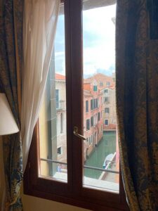
We also spent a single night in Venice before leaving Italy (in hindsight not nearly enough time, although some time is much better than no time at all). Venice is a beautiful and extraordinary unique city with beautiful, muted shades of pinks, yellows, and oranges on the old buildings and features many intricate architectural structures, charming narrow walking-only streets, and of course the famous waterways that create a sense of being in a fantasy world.
France
France
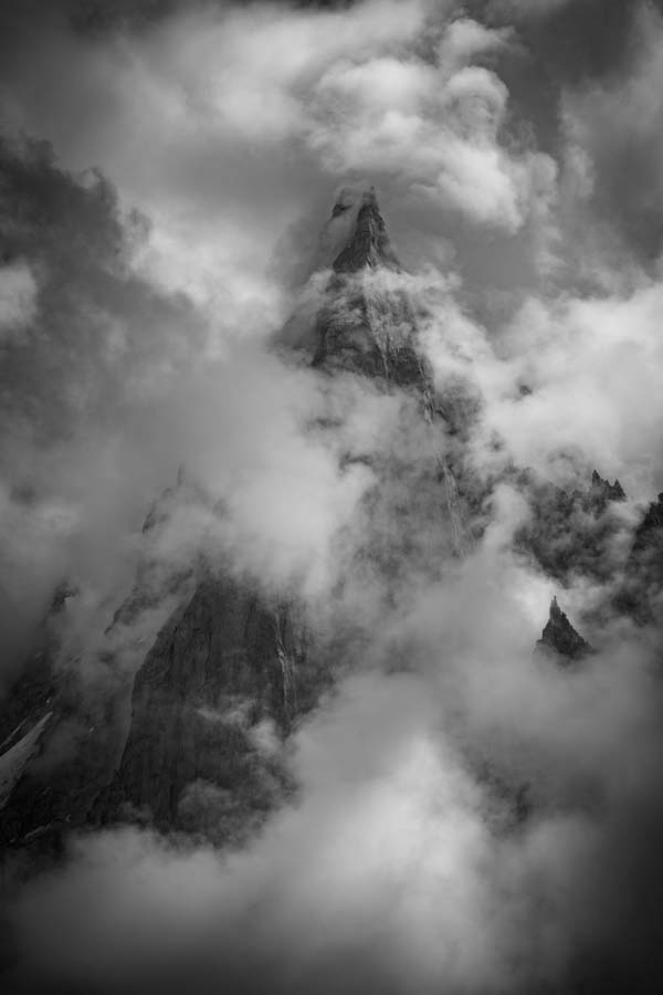
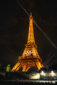
Piercing the Clouds,
August, 2024


Location Notes
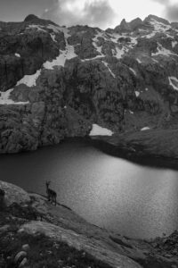
I explored the region of Chamonix, a resort town in the alps of France, in summer of 2024. I stayed in a town in the Chamonix valley, approximately 10 minutes from the main town of Chamonix. The region is quaint, with spectacular views of the surrounding mountains, and has a large selection of exceptional hikes. I took two hikes during our short stay, one that offered views of Mer de Glace and Balcon Nord, which was spectacular, and another that took me to beautiful small lakes in the mountains, including lac Blanc. A large number of ibex roamed around the lac Blanc region which added to the experience. Mer de Glace is a glacier in a valley surrounded by tall, spiky, mountain peaks. One can reach there by a small train as well, and walk through an ice cave in the glacier. Stunning views can be seen from the lookout and the surrounding trails of the glacier and mountains.
We also enjoyed exploring Paris which was a beautiful city with many fascinating attractions. Some highlights that we experienced include the Musée d’Orsay which houses some of the greatest artwork in the world, including paintings of Van Gogh, Monet, Manet, and many others, Montmarte with its classic French cobblestone streets lined with cafes and aesthetic architecture, Sacré-Cœur with expansive views inside and outside the church, Versailles with unfathomable opulence, the Eiffel tower which is illuminated impressively at night, and the river Seine with views of Notre Dame and many other impressive sights.


Costa Rica
Costa Rica
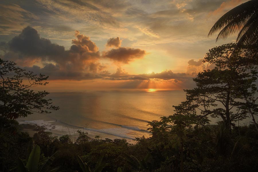
Sunrise on the Osa Peninsula
March, 2015


Location Notes
When one things of a stereotypical jungle, the image that probably comes to mind is something similar to the Costa Rican rainforest. There is an incredible variety of flora and fauna in this small country; some fairly common sightings include the extraordinarily colorful macaws, the lively capuchin and spider monkeys, the vocal howler monkey, beautifully decorated toucans, various species of iguana, and a host of reptiles, amphibians, mammals, insects
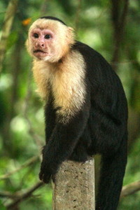
and birds that keeps one searching their surroundings. The howler monkey’s loud, and somewhat unearthly, calls resound across the jungle, making for a lasting memory. Some other notable sightings we have had include poison dart frogs, green-tree frogs, a yellow-eyelash pit-viper, squirrel monkeys, a fer-de-lance, and even a fleeting glimpse of a mountain lion.
The most wild and preserved region is in the south, in the Osa Peninsula. Towards the north of the country resides the Arenal volcano which constantly spews out red lava, a sight that is best seen at night. one can view the volcano from a distance at the Arenal hot springs, allowing one to experience the geo-thermal action in a relaxing manner. A visit to the hot springs after dark is an activity that should not be missed. There are many natural springs at the one location, each with a different temperature, depending on the amount of thermal heating.

The best way to get around the country is by airplane. There are some small airlines (with small airplanes) that fly to most of the popular destinations around the country. Although the distance from each location is not far, the roads are not well maintained and it can take many hours of uncomfortable, bumpy, driving to get from place to place. I don’t recommend staying in San Jose, just take a connecting flight to your final destination experience the incredible natural environment that the country has to offer.
One activity that is always enjoyable is zip-lining through the rainforest. On one occasion, there was fog on the mountain and at times you could not see anything but perhaps a tenth of a second worth of zip-line in front of you. This made for a particularly enjoyable and exciting ride. Chances are you will have clearer conditions which will allow you to feel a little like you are flying through the trees.
If you are bringing a digital camera, beware of the affects of humidity as it can damage the electronics. During my most recent trip to the Osa Peninsula, my camera shut down completely after just a couple of days. Fortunately, it recovered once I returned home. Occasionally repair will be required however.
Kenya
Kenya

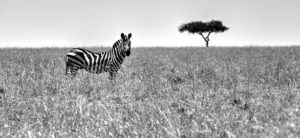
A Solitary Burchel’s Zebra, Masai Mara,
August, 2013

Strolling Giraffes in Masai Mara,
August, 2013
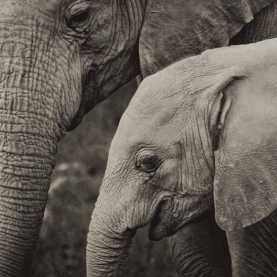
Family,
August, 2013



Location Notes
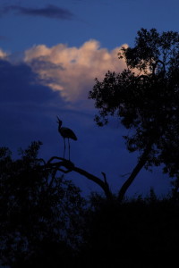
Our family went on a safari in Kenya, and here are some images from that 10 day adventure. Kenya has excellent parks in which many impressive large mammals can be seen, such as lions, hyenas, giraffes, rhinoceroses, hippopotamuses, zebras, wildebeests, antelope, gazelles, cheetahs, leopards, elephants, and many other impressive wildlife. In addition to these massive or speedy mammals, there are also numerous birds and reptiles to see out in the fields or even near your residence.
I think the most memorable experience I had during our time there was witnessing part of the great migration when millions of zebra, wildebeest, and antelope travel between the Serengeti to the Masai Mara preserve in Kenya. They move in search of better feeding grounds, but it is a perilous journey. We arrived just when a herd of hundreds of wildebeest were crossing a river. They were quite timid entering the water, and for good reason as there were many crocodiles lying in wait. They made their way to the edge of a cliff on one side of the river and stopped as the wildebeest in the front tried to accumulate the courage to go over the side. Finally one ran down the nearly vertical slope and dove into the river to begin swimming across. The others proceeded to follow. After a while some went down a much less steep area and made their way across from there. There was a juvenile who swam across, however his mother hesitated on the other side. Getting to the other end of the river and realizing his mother hadn’t crossed, the juvenile wildebeest swam back.
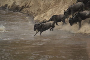
A crocodile was in pursuit but the young swimmer managed to barely get to the bank before the crocodile could catch up. The mother and child wildebeest then both crossed together safely. The crocodile did catch one less fortunate member of the herd later on. Watching nature in its raw form like this is quite an experience. At the time, I was focused and fixed on the scene, but looking back, this was certainly a bittersweet event to witness, as it demonstrated how hard life can be for these animals, but also I’m sure a relief for the ones who made it across safely.
Japan
Japan
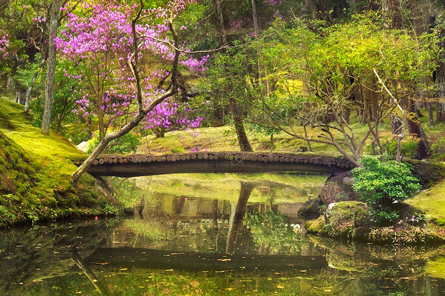
Moss Garden,
April, 2014
Location Notes
My family traveled to Japan with the main objective of hiking the Kumano Kodo trail. We also spent a brief time in Kyoto where we stayed in a authentic Ryokan hotel. Surprisingly, it was relatively easy adjusting to sleeping on the floor, and any inconvenience was offset by the rewarding feeling of being immersed in a different culture.
Japanese cities are very clean and sophisticated. Kyoto was the only city I’ve ever visited that likely surpassed a typical city in the US in terms of development and technology. The people of Japan also seemed to be the nicest and most polite of any place I’ve ever been. I did learn that it is worth packing ample supplies of non-perishable food, since it can be hard to adapt to the local cuisine.
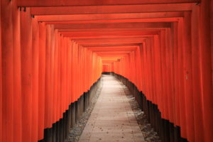
Kyoto contains many shrines, a few of which we were able to visit. My personal favorite was the Fushimi Inari shrine which had stone trails that wound up a hillside and led to small shops and the striking orange Torii gates. Another impressive shrine was Saihō-ji which had moss covered landscaping with tranquil ponds and stone walkways. We also very much enjoyed hiking the Kumano Kodo trail. It was different than most hikes we were used to, such as those in parks, as it did not have the most impressive scenic views, but was fun traveling from town to town and staying in small, unique, lodgings.
Turks and Caicos
Turks and Caicos
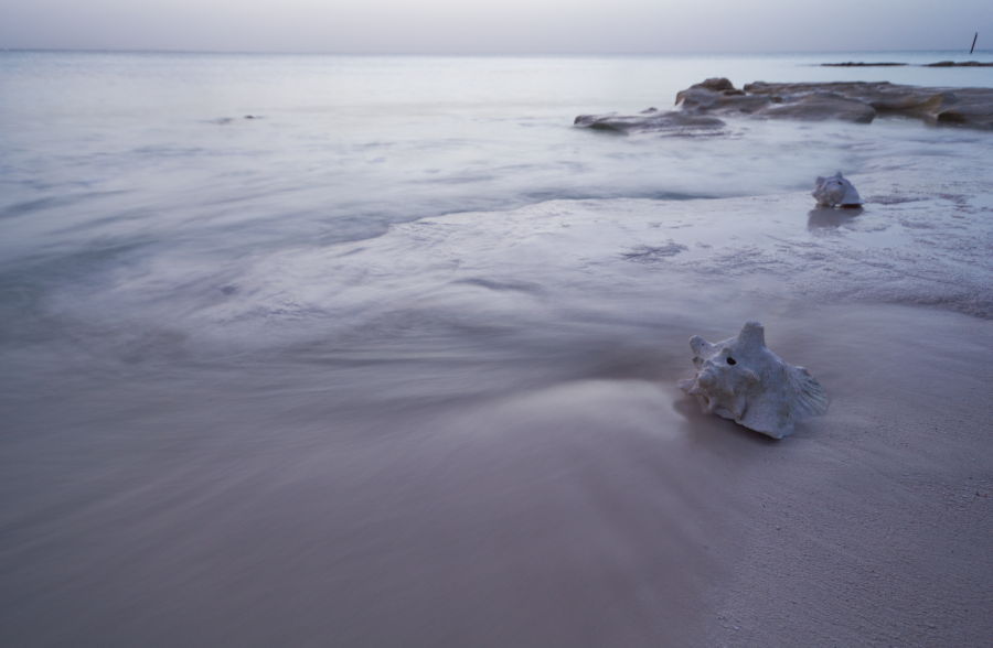
Conch Shells on the Beach,
July, 2016
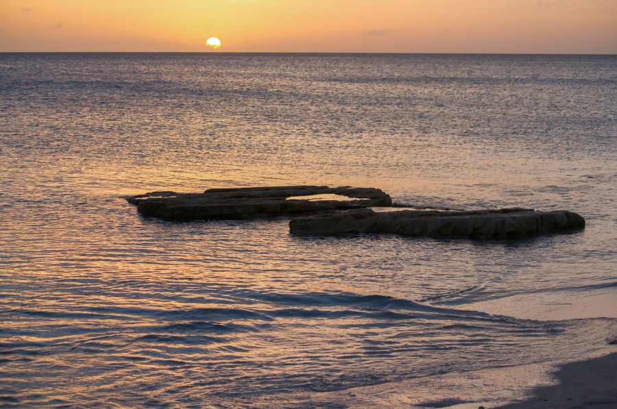
Picturesque Rocks at Pelican Beach,
July, 2016

A Shell on the Shore,
July, 2016
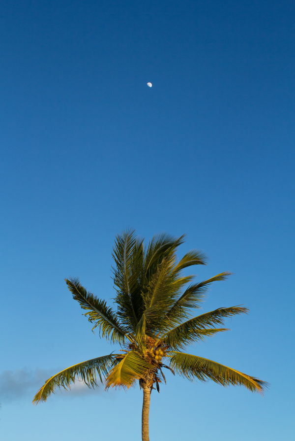
Balance,
July, 2016
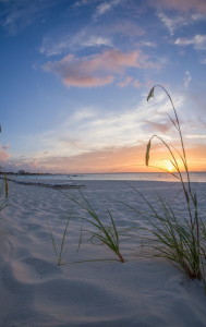
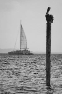
Location Notes
A set of islands in the Caribbean, Turks and Caicos offers beautiful white sand beaches with calm ocean waters. We visited the island of Providenciales via a connecting flight out of Charlotte.
Grace Bay Beach is known for being one of the nicest beaches in the world, and it lived up to it’s reputation. Although it has a slightly more touristy feel than some other beaches on the island, such as Long Bay or Taylor, it was still perhaps my favorite place to spend the day. The best spot at sunset was Pelican Beach, which has nice rock formations, numerous conch shells, and resident pelicans which perch on posts in between dive fishing for food. The pelicans are the bosses of the air here, and any sea gull that lands on a post must move when a pelican wants it’s spot. The island also has snorkeling opportunities in several locations. It’s a good idea to bring your own gear, but try it out before coming so you know it works. You can also rent equipment, but purchasing it is relatively inexpensive and worthwhile if you are planning on going out more than once. Bring a life vest so that you can go out in the deep areas and not get tired. We enjoyed snorkeling at Smith’s reef and seeing the beautiful coral, a multitude of small fish species, eagle rays, turtles, and barracuda. I spent several hours in the water over a two day period and seemingly saw a new species of fish every 15 minutes or so. It was exciting to see my first eagle ray, who swam gracefully about 15 feet below me and finally disappeared from sight maybe 70 feet ahead, only to circle back around a final time.
Switzerland
Switzerland

Path to the Moon,
October, 2022

Milky Way Above a Path to Gimmelwald,
August, 2024

Milky Way Above the Mountains,
August, 2024
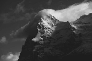
Clouds on the Eiger
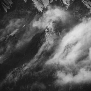


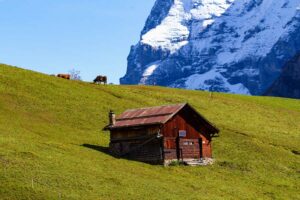


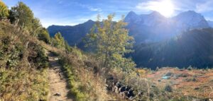
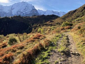


Location Notes
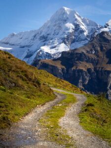
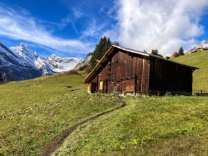
The alps are a relatively young mountain range and therefore still retain jagged and steep geographical features that make for a beautiful aesthetic. I stayed five nights in Mürren, a town in the Jungfrau region of the Swiss alps, in October 2022, then returned in August of 2024 and stayed in Mürren and Wengen, another picturesque Swiss town on the other side of the valley. At 5,300 feet elevation, Mürren sits atop a valley wall with stunning views of both the valley floor some two thousand feet below as well as several mountain faces which rise to over 13,000 feet in elevation. Being perched high on the mountainside, one has a sense of being among the clouds as they can be seen forming and moving above the valley below. Mürren and Wengen are very quaint, small towns, ideal for those looking for seclusion and tranquility. They have a quintessential Swiss feel with wooden chalets, flowerboxes, and scenic views in nearly every direction.
The most popular towns to stay in the Jungfrau region include Lauterbrunnen, Wengen, Grindelwald, and Mürren, with Mürren being the smallest followed by Wengen. There is no road into Mürren or Wengen which enables them to remain relatively quiet and frees the senses to take in the sights and sounds of nature and Swiss farmland without being intruded upon by car noise. The sound of cowbells ringing from the many roaming cows around the town gives one with a sense that life is more simple and less complicated in this part of the world. The beautiful town of Lauterbrunnen sits in the valley below and showcases a spectacular 1000-foot waterfall, Staubbach falls. I spent an enjoyable couple of hours walking around Lauterbrunnen viewing the picturesque scenery and beautiful chalets. It also has a beautiful cemetery that has the feel of a meticulously tended garden.
The alpine region begins at an elevation of around 7,000 feet which is several thousand feet lower than what I have experienced previously in the Colorado Rockies. I assume that this difference is due to the higher latitude of Switzerland (47 versus 40 degrees), and therefore the resulting colder temperatures.
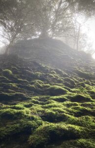
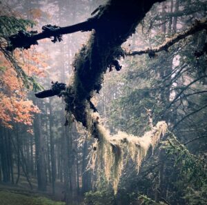
There is a network of beautiful trails that can be accessed from the towns of Mürren and Wengen. A few minutes’ walk from the train station in Mürren is a trailhead where paths begin to meander into the forest and connect to other trails that go to a vast range of areas in the region. The forest has the feel of an old-growth ecosystem with many ferns and mosses and a mixture of evergreens and deciduous trees. Some autumn color was beginning to appear in the early part of October during our trip, although the best color was probably not for another two weeks. By then many restaurants would be closed, however. One can take several short to moderately long day hikes from Mürren, such as the Winteregg loop which goes through a range of ecosystems from forest to grassland and back to forest while providing great views of the mountains. My favorite moderate hike was the Northface trail which had wonderful scenery of not only the mountains but also picturesque valleys with cows and chalets, as well as streams and woodland. For the first couple of days of our first trip the weather was rainy and a fog enveloped the forests which added to their character. The next several days were partly cloudy or sunny and the mountain views came to life. The dancing of the clouds around the mountains during the day or the warm color of sunlight illuminating the mountaintops at sunset made for many astonishing scenes.
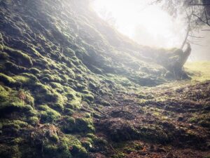
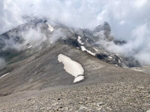
Traveling the Jungfrau area can be done entirely by public transportation without the need for taxis or car rentals, either by trains or funiculars, which offer wonderful views as well. The transportation system also provides access to regions high in the mountains where one can take in the grand perspectives in comfort and ease. Two of these popular destinations are the Jungfraujoch and Schilthorn. The price of traveling is generally very high, particularly to get to these locations, which reside at around 11,000 and 10,000 feet, respectively. We took a funicular from Mürren to the Schilthorn where we had lunch in a revolving restaurant. I took a brief walk on a scenic ridge trail that had intimidating drop-offs on either side. It is also possible to walk to the Schilthorn from Mürren, which I did on our second trip. On a rainy day during our first trip I walked part of the trail, up to perhaps 2,000 feet above Mürren. The trial was quite steep and it was an interesting experience to see the changes that occurred as I walked up the mountain. The trees disappeared as I entered the alpine zone, and then the rain turned to a heavy wintery mix and the wind kicked up significantly. The ground was snow covered at these higher elevations and the temperature noticeably colder. It was interesting to experience such differing weather conditions and ecosystems in such a short time period. One can visually observe these regions from below but lack a sense of what it is like to be there, therefore it was interesting to get a taste of the harshness of the higher elevation regions which are only about an hour and half walk away. On the second trip, I wanted to get the full experience of hiking the entire way to the Schilthorn and back down. This required a total of about 5,000 feet elevation gain and 14 miles, although it is possible to make it slightly shorter by taking alternative routes on the way back down. The hike was the most exhilarating I have taken to date, with many steep fall offs on either side of the trail that felt rather narrow in sections, albeit safe (at least in summer without snow and ice). Due to the intimidating sections on the descent from the Shilthorn towards Rockstock hut, I would recommend this hike only for fit and experienced hikers without an excessive fear of heights. The trail passed through a variety of vistas, from moon-like landscapes near the summit to lush wildflower-speckled grass fields at lower elevations. Mountain goats roamed the mountain sides. Clouds and fog moved through occasionally lowering visibility and adding to the intimidation factor, and snow still covered sections of the trail even in mid-summer. Although the higher elevations were the most unique due to the otherworldly appearance of the landscape, which was devoid of trees or plants, with only rocks and snow present at those elevations, the lower section on the way back between Rockstock hut and Mürren was actually the most scenic. The views of the valleys, streams, waterfalls, and mountains encased by clouds was truly extraordinary.
On our second trip we stayed in a quaint hotel, the hotel Regina, in Wengen, which was a wonderful experience. Wengen has many of the same quaint Swiss-village charm of Mürren as well as similarly spectacular views. I would advise staying in both places if you have the time to get a taste of each location. So far I have to say that Mürren has a slightly more spectacular view of the rockfaces of the mountain sides and the hiking trails are extraordinary. The Northface trail is incredible and not overly strenuous while the hike toward Rockstock hut that I mentioned above is as good. And of course harder, steeper, hikes are possible, making Mürren a truly incredible place to be fortunate enough to visit.

We also stayed one night in Interlaken which is about 50 minutes from Mürren and sits between two large lakes at about 1,800’ elevation. Even though normally towns or cities do not attract me, Interlaken had many nice features and I was glad to have visited it there before leaving the region. It is a beautiful place filled with picturesque chalets, gardens, and turquoise-colored rivers and lakes.

When visiting the Jungfrau region, I recommend using the website sbb.ch to determine which train/funiculars to take and when. It is also much easier to buy tickets on that website rather than trying to figure out how to use the ticket machines which do not have an English translation. This is only an issue in the evenings or early mornings when the ticket offices are closed, however. If traveling to the different towns or hiking waypoints, note the last departure times from the stations as they can stop running fairly early before sunset. Overall, I found Mürren, and the Jungfrau region in general, to be a truly stunning place and the hiking and extraordinarily friendly people made for a very enjoyable and memorable experience.
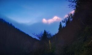
One of the images that I captured during this trip that I am particularly happy with happened while I was walking the trails near our chalet rental during sunset and twilight in Mürren. A layer of cloud blanketed the base of the mountains as the sun cast its light on the peaks. Fog started to settle on the town as darkness fell. I stopped on a path above the town and watched as the lights of the town below became diffuse as the fog rolled in. Above, the vast view of the valley, mountains, and clouds could still be seen. I walked back toward the chalet wearing a headlamp as twilight progressed. I captured images of the reddish mountain peaks which stood just above the surrounding clouds. The moon also shown through the misty air above. Walking down a gravel road on the way back I took an image of the scene framed by evergreens on either side of the path. I shot handheld, as I did not wish to bring the heavy tripod, and rattled off a series of images which I later stacked to reduce noise. I then finished my walk back by passing down through the woodland once again and into the town as night arrived. The scene framed by the trees on either side and with a path that leads the eye to the sliver of mountain that is illuminated by a waxing moon made for an image that I was quite excited to capture.
Israel
Israel

Hills in the Desert,
September, 2023

Location Notes
Perhaps the most sought-after piece of land in the history of the world, the land of Israel hosts an abundance of historical sites, some of which date back thousands of years and many of which are also of significant importance to those who are part of the three Abrahamic religions.
Jerusalem, the city of most historical and religious significance in the country, contains many ancient sites. These include the remains of the walls around the ancient Jewish temple, and the somewhat younger Old City walls and Dome of the Rock, and many other sites of great religious significance. In the Old City of Jerusalem, one is also immersed in a lively, diverse, and colorful cultural experience that is both chaotic and stimulating. I imagine that there are other places of similar cultural contrast, but I have personally never been anywhere that felt so removed from the culture that I am used to at home. The region also has a sense of essentially remaining the same since antiquity.
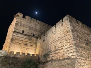
One of the famous sites in Jerusalem is the Western Wall which, although not part of the temple itself, is a remaining wall of the temple mount complex. A bit like looking at the walls of a canyon that contains a geological history dating back earlier in time the farther down one looks, the Western Wall consists of stones from many time periods. The stones near the top of the wall were placed there as early as the 16th century while those nearer the bottom of the wall that is still above ground was part of the construction of Kind Herod more than 2000 years ago. These stones are very large, in fact one stone that was discovered in an excavation below ground is 44 x 11 x 7 feet and weighs 250 tons, about three times heavier than the heaviest stone in the Egyptian pyramids. The temple that once stood within the temple mount complex was built around 500 BC and was known as the second temple. This temple was restored and expanded by King Herod around 40 BC which was later completely destroyed by the Romans in 70 AD as part of their effort to squash a Jewish rebellion. Where the temple once stood now sits the Dome of the Rock, an Islamic shrine that was built around 700 AD and is famous for its iconic golden dome roof structure. Outside the walls of the Old City sits the New City, which does not contain the vendors and crowded narrow streets that give the Old City its lively nature. The New City has a more modern and tranquil feel while still maintaining the classic light-yellow stone architecture.
Natural attractions can be found in Israel as well including the deserts of Judea and the Negev, the Red Sea, the Dead Sea, and the Mediterranean Sea. We visited the nature preserves in Ein Gedi in the Judean desert near the Dead Sea. The preserve features wadis, streams that provide water to the plant and animal life in the dry region. One can walk along and through the streams while staying cool in the shade of the vegetation and the moisture of the streams and waterfalls. There are ibex (mountain goats) that roam the region as well. Nearby, the Dead Sea can be seen across from the preserve. One can go to a public beach and go for a dip in the salty water which is about 10 times saltier than sea water and about 25% denser, providing an interesting experience of enhanced buoyancy to bathers. One floats effortlessly on the water, making for a cool and fun experience. The shores of the Dead Sea reside over 1,400 feet below sea level, making it the lowest place on earth where one can stand on dry land.
Another enjoyable experience we had was to spend a night in a Bedouin tent in the Negev desert. Although somewhat catered towards tourists, this did not detract from the great experience they provided of spending the night in a glamping tent, providing a great buffet dinner, giving a very cool scorpion hunt experience at night using UV flashlights (which cause the exoskeletons of the ubiquitous scorpions to glow making them easier to spot), and taking us on a short camel ride in the morning.
Other experiences that one can do in Israel include activities such as walking by candlelight through the narrow underground tunnels called Hezekiah’s tunnels, climbing Masada at dawn, snorkeling in the Red Sea, visiting a Kibbutz, or of course checking out the multitude of historical and religiously significant sites throughout the region.
One of the primary landmarks that one sees when going to Jerusalem are the walls that surround the Old City. They were demolished and rebuilt many times, now mostly consisting of the latest rebuild around 1500 AD by the Ottomans. The first temple is thought to have been built around 1000 BC and then destroyed around 600 BC by the Babylonians who also took many of the Israelites into captivity. The temple was rebuilt about 70 years later and is now known as the second temple. The region was conquered by Alexander the Great around 300 BC and ruled by the succeeding Ptolemaic and Seleucid empires. Great oppression of the people resulted in the Maccabean revolt around 170 BC in which the Jewish people reclaimed control of part of the country, including Jerusalem and the temple (leading to the festival of Hanukkah). The Romans took control of the region in 63 BC and installed Herod the Great as a vassal king of Rome over Judaea. King Herod expanded and renovated the temple, however these renovations would not last long. Jesus was born a couple years BC and was put to death around 30 AD. A Jewish revolt was extinguished by the Romans in 70 AD which led to the complete destruction of the second temple, and it has not yet been rebuilt. Much of the Jewish population was taken away after the Romans squashed this and a second revolt, but some remained in the region. Roman rule continued until around 600 AD when the Islamic Rashidun Caliphate captured the region. The Dome of the Rock was built during this period. From about 1100 to 1250 AD, crusaders mounted successful campaigns and occupied Jerusalem for much of this period. However, the Mamluk sultans of Egypt took control of the region around 1300 AD, reestablishing Muslim rule. The Ottoman empire captured the city around 1500 AD and rebuilt the city walls. The empire collapsed in World War I and the British assumed control of Jerusalem and the surrounding land in 1917, known as the British Mandate for Palestine. Jews migrated back to the region in large numbers, partly due to persecution in Europe by pogroms at the end of the 19th century and then later by persecution by the Nazis and others. The large migration of Jews back to their ancestral lands led to conflict with the Muslim inhabitants of the region. The British limited the number of Jewish migrants entering the region. Many countries refused to allow Jews fleeing the holocaust to immigrate into their countries, resulting in even more focused migration of Jews into Palestine. An increase of Jewish insurgence in the region and Arab-Jewish conflict led to a British desire to leave the area. The UN presented a plan of partition to give just over half of the land to the Jewish people and the rest to the Arabs with an international zone which would include Jerusalem, but the plan was rejected by the Arab coalition. The British pulled out in 1948, and the Arab Palestinians were joined by the Arab nations of Egypt, Syria, Transjordan, and Iraq, as well as contingents from Yemen, Morocco, Saudi Arabia, and Sudan which joined forces to prevent the establishment of a Jewish state. However, the Jewish forces prevailed and, after nearly a year of fighting, not only captured the land that was proposed to be theirs in the original UN partition plan, but also a large amount of the rest of the previously British occupied land of Palestine as well. Many Arab Palestinians fled the region and more Jews migrated into the area after the war. Other notable wars that followed were the six-day war of 1967 and the Yom Kippur war of 1973. In 1967, Egypt, Syria, and Jordan formed a coalition to attack Israel. But, in a preemptive strike, Israel destroyed much of Egypt’s air force while also advancing on the ground in the Egyptian controlled Gaza strip and Sinai Peninsula and the Syrian controlled Golan Heights. Within six days, Israel controlled all of these regions, as well as taking East Jerusalem, which included the Western Wall which had previously been in Jordanian control and off limits to Jews. In 1973, Egypt and Syria made a surprise attack on Yom Kippur, but Israel repelled the offensive. Israel would give the Sinai Peninsula back to Egypt in exchange for a peace agreement. In 1995, the Oslo accords gave partial control of an area known as the West Bank to the Palestinian National Authority. The Gaza strip, a piece of land on the border of the Mediterranean Sea, Israel, and Egypt, was evacuated by Israel in 2005, however a wall was setup around the region to control the flow of people, arms, and goods in and out of the area. A terrorist organization called Hamas was elected to power over the Gaza strip and rockets are frequently fired from Gaza towards Israel. A rocket interception system known as the Iron Dome is employed by Israel to defend itself from the most potentially harmful of these rockets.
A week after our latest trip to the region in October 2023, Hamas attacked, killed, and kidnapped civilians near the Gaza strip. Israel has since engaged in a war to destroy Hamas and prevent such an attack from recurring. Measures that could be taken that might lead to a reduction in the region’s ongoing conflict are also of much current debate and consideration. Regardless, the land of Israel is a very unique place to visit and offers a wide variety of cultural, historical, and religious attractions.
Peru
Peru
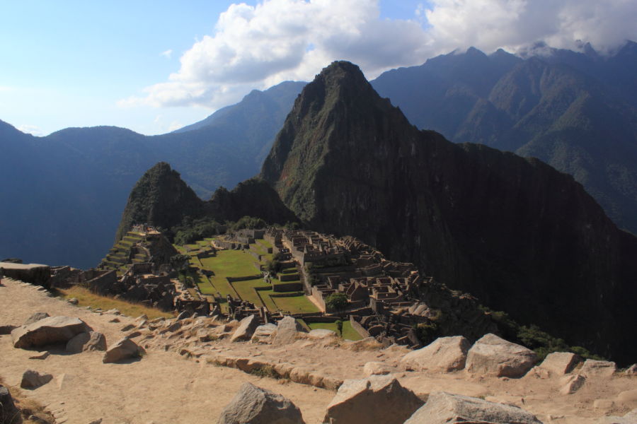
Matchu Picchu,
August, 2012

Location Notes
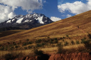
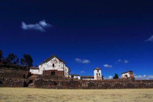
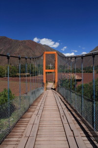
The first day in Cusco, Peru, was a struggle. At over 11,000 feet, it takes time to acclimate to the thin air. It was difficult to breathe and nearly impossible to do any physical activity. Even walking was difficult. The locals sell many products made of coca leaves which they say helps to counteract the effects of the altitude by acting as a stimulant. I personally did not find this to work, and the grassy taste of the leaves was not conducive to consuming large quantities. There were many wonderful scenic views of the countryside and the Andes mountains. Our trip included a visit to Machu Picchu, the striking mountain formation and Incan ruin.

